

Geophysical Surveying and Mapping
Onshore and Transition Zone Seismic
Large-Scale Data Collection Specialists
WHAT WE OFFER
Full suite of geophysical surveying and mapping capabilities, GPS and inertial surveys, and hazard access mapping.
Turn-key solutions - our team can partner with you to provide the best solution for your surveying and mapping needs.

OUR SERVICES


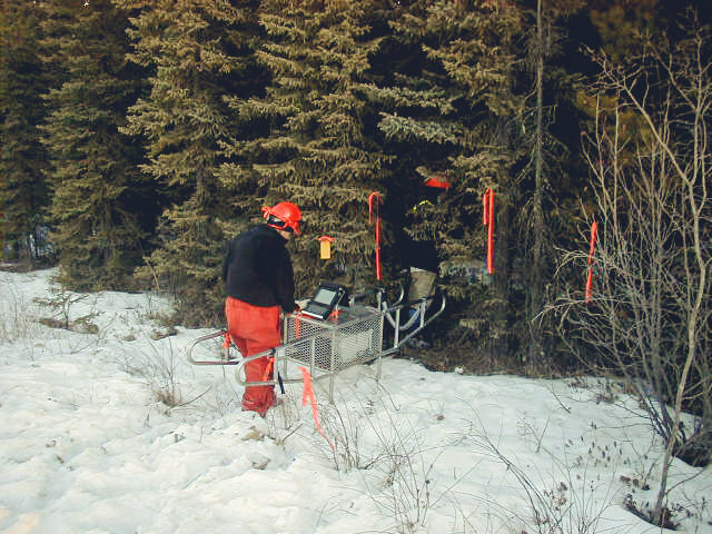
INERTIAL SURVEYS
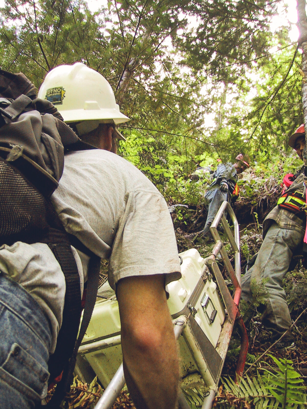
Under-Canopy, GPS Denied Environments
Utilizing Inertial Measurement Units (IMUs), DAS is able to deliver sub-meter level survey point accuracies. This technique is ideal for surveys that require minimal impact in environmentally sensitive areas under canopy.
*DAS owns and operates their own proprietary inertial technology.
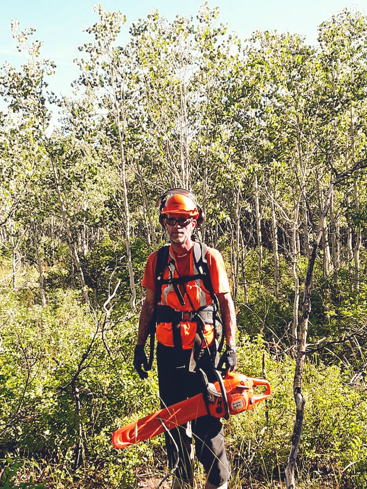
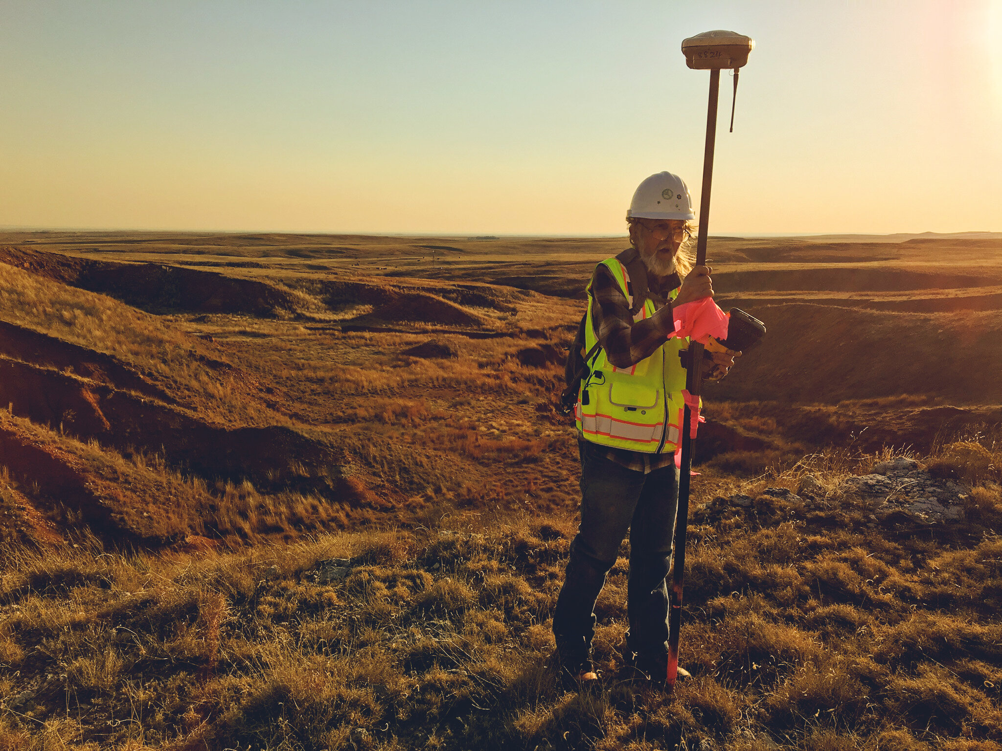
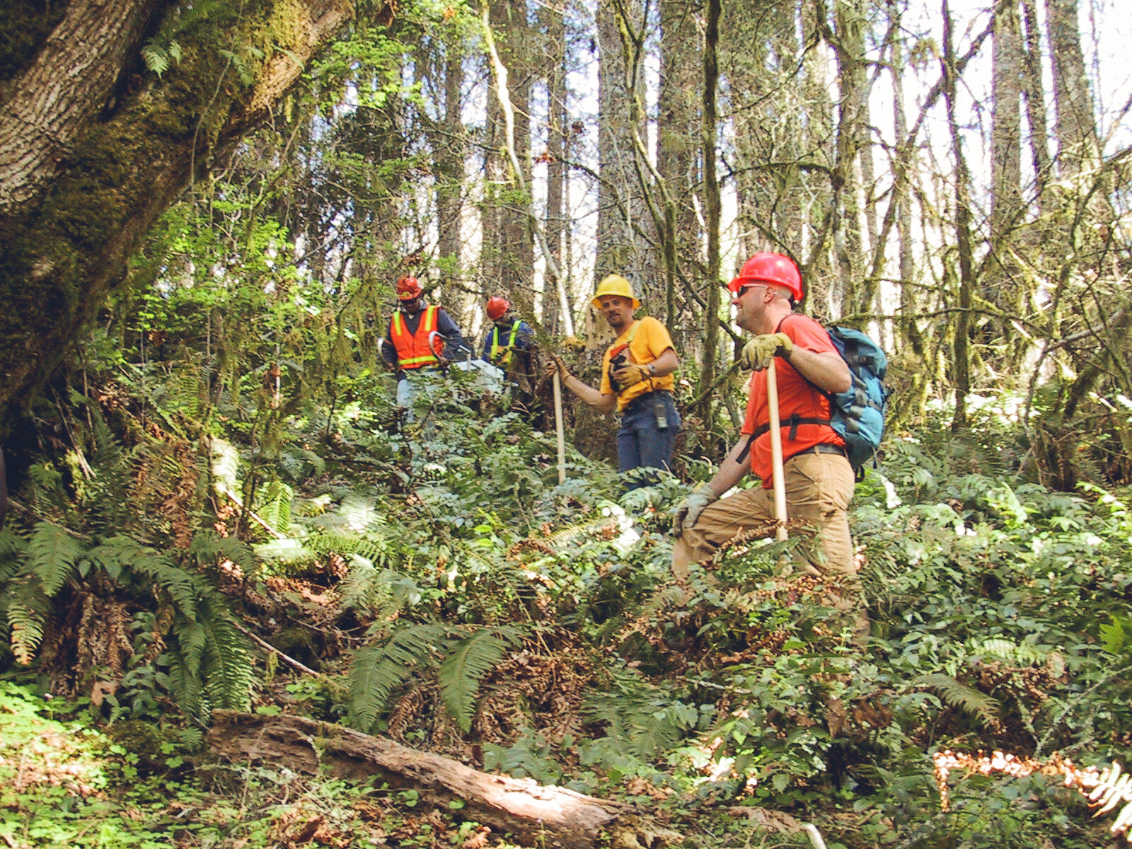
GPS/GNSS SURVEYS
Cost Effective and Reliable Data Acquisition
Real-time and post-processed high accuracy GPS solutions utilizing Trimble GPS Surveying equipment. GPS surveys are typically a low-cost, high-production method best suited to canopy free areas.


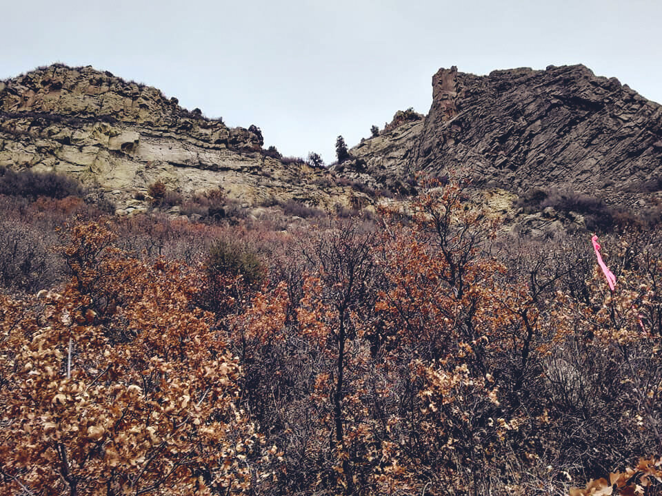
HAZARD ACCESS MAPPING
Large-Scale Mapping is Our Specialty
We accurately map and inventory all culture, access, and potential safety concerns within a project area. GIS surveys are typically performed in conjunction with geophysical surveys or on a stand-alone basis.
FULL PROJECT MANAGEMENT
Complete Transparency and Support
Our experienced personnel have the ability and knowledge to work directly with the client to ensure successful delivery on your project scope. Our team understand state and local survey rules and standards critical to direct client’s deliverables (QA/QC)l.

The XYZ of Seismic
Survey and Mapping Experts
Our mission is to deliver efficient and reliable survey solutions of strategic value.
We efficiently communicate and design custom geospatial solutions to our customers.
Our survey and mapping specialists identify potential problems and evaluate issues proactively to ensure smooth project execution.


LET’S TALK
Survey Operations Manager | Jimmy Walker
jimmy.walker@discoveryacquisition.com